Sooner or later everyone who lives on the water acquires a tide chart thinking that it will forecast the tides. After a while, we realize that it doesn’t. The timing of the tides can be accurately determined from the relative locations of the moon and sun and their gravitational pull on the earth, but not the height of the tide’s highs and lows.
Forecast Tides: The expected highs and lows on tide charts are only guesses, calculated by averaging the highs and lows for the last ten years and projecting them forward for the coming year(s). Overriding this baseline of tidal highs and lows will be the effects of major weather systems (rain) and wind driven ocean and bay currents.
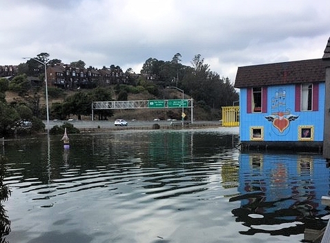
Actual Tides: Heights measured at the location.
High Tide (High Water): There are two Highs per day, one is higher than the other. (Highest High tide and Lowest High Tide—the Highest is the one to worry about)
Low Tide (Low Water): Two per day. (Of little concern to those who park on the shore.)
King Tide: Despite what the county pundits warn ahead of major rainfalls, there are no King Tides inside the Bay! (Stinson Beach, being on the ocean, can have King Tides.) King Tide is not a scientific NOAA definition and is not used at the Sausalito Bay Model.
According to Wikipedia, King Tide is a colloquial term for an especially high tide, such as a perigean spring tide. King tide is not a scientific term, nor is it used in a scientific context. Use of the term king tide originated in Australia, New Zealand and other Pacific nations, by surfers, to refer to an especially high tide that occurs only a few times per year at a perigean. (Perigean is the point in the moon’s orbit when it is closest to earth.) The King Tides that visit Mavericks, just North of Half Moon Bay, are usually rainless.
Winter Tides: In the Northern latitudes, tides are higher in the winter than summer.
Atmospheric Rivers: Unlike ordinary storms that circle a slowly moving Low and pass by as a Storm Front, Atmospheric Rivers are narrow plumes of water vapor originating from as far as the Philippines that bring seemingly endless torrents of water to our coasts and the Sierras. These plumes can be several thousand miles long and a hundred miles wide and carry as much water as the Amazon River. Pineapple Express Storms: These are tropical plumes that originate near the Hawaiian Islands.
Breakers: Tides that break upon a beach every 10 seconds to a minute are caused by sea level disturbances out in the ocean produced by such things as storms. In addition, the various circulating currents of sea water can have strong winds directed towards the land which will bring water up onto the beach to touch the toes of squealing kids. As this water travels towards the beach from deep water to shallow water, its amplitude (height) increases until it finally crashes as a full-fledged breaker, suitable for surfing or drowning the unwary.
Storm surge: A large coastal flood or tsunami-like phenomenon of rising water commonly associated with low pressure weather systems (such as tropical cyclones and strong extratropical cyclones), the severity of which is affected by the shallowness and orientation of the water body relative to storm path, and the timing of tides. The two main meteorological factors contributing to a storm surge are a long fetch of winds spiraling inward toward the storm, and a low-pressure-induced dome of water drawn up under and trailing the storm’s center. Storm surges may affect Muir and Stinson Beaches but North Richardson Bay, not so much.
A better way to approach Abnormally High Tides is to think of them as a layer of rainwater on top of a layer of tidewater. They get all jumbled up of course but treating them as layers will help us predict the troublesome highs that plague our parking lots during heavy rains.