This is the fifth and final installment of a research paper on the microclimates of Richardson Bay by Yellow Ferry resident Richard Pavek.
An El Niño is part of the normal weather pattern that occurs when surface temperatures in the tropical Pacific Ocean rise to above-normal levels for an extended period. El Niños develop in the central and east-central equatorial Pacific. Severe El Niños develop when high-pressure jet streams build up in the western South Pacific and bring significantly wetter winters to northwest Mexico and the western United States. The strongest of these develop a chain of storm centers that slowly move towards California. When the Jet Stream in the upper atmosphere swings northward, it increases El Niño’s volume and persistence. In 1890, Peruvian sailors named the warm current ‘El Niño’ because it was most noticeable around Christmas.
La Niñas are the opposite of El Niños and bring dry winds to the Sierras and inland; these are the winds that spread our wildfires.
Tsunamis and the Bay
We are reasonably safe from Tsunamis in Richardson Bay, as the narrow Golden Gate passage protects us. Any Tsunami that funnels through the Gate will rapidly spread and dissipate as it expands and extends into the huge, fifteen-mile-long San Francisco Bay.
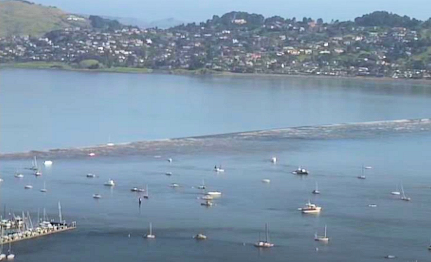
In 2011, the Oregon City Tsunami passed through the Golden Gate at about eight feet high, to spread out to become a one-foot wave traveling at four to six knots as it entered Richardson Bay. As it expanded further into Richardson Bay, the Tsunami wave lowered and sped up to race by the floating home community as a tiny one-inch wavelet!
Ed. Note: On the morning of March 11, 2011, the remains of a tsunami from an earthquake offshore of Fukushima, Japan rolled into Richardson Bay. Despite many warnings of potential damage and evacuations, that tsunami also produced only an inch-high wave of water.
The Risk of Earthquakes
The North Richardson Bay horseshoe rests on a stable portion of earthquake-sensitive California. We are midway between the San Andreas Fault line and the Rodgers Creek-Hayward Fault line, not too bad a place to be situated. Sitting on the mud is relatively safe, as I discovered during the 1989 Peralta Earthquake. My ‘floating home’ was not floating when the earthquake hit; it was sitting on the mud. It felt as though I was standing on a bowl of jiggling Jello! Out my window, I watched the rigid dock jerking like a dancing Halloween skeleton. Fortunately, I was barely moving; nothing fell from my shelves.
Simply put, North Richardson Bay is essentially in a pocket valley between the ridge west of Marin City and the Tiburon Hills on the East. The bay muds are about 80 to 95 feet deep and have solidified at that level for nearly 10,000 years.
Because of this undergirding geology, the floating homes community will probably not become separated from Marin City and the Marin County fire and rescue services in the event of a major earthquake.